The United States Geological Survey (USGS) has published a Geonarrative related to OOMG’s project Using a Coupled Numerical Modeling System to Investigate Flooding Impacts During Hurricane Florence (2018). OOMG researcher Dr. Joe Zambon worked with USGS investigator Dr. John Warner on modeling storm surge, compound flooding, and atmospheric and marine conditions before, during, and after Hurricane Florence made landfall in North Carolina in September 2018. Understanding these conditions leads to more accurate hurricane predictions, including impacts on coastal communities and environments. Dr. Zambon also modeled pollutant transport in flood waters with Dr. Melissa Moulton at the National Center for Atmospheric Research (NCAR).
Geonarratives are “web applications that combine interactive web maps with narrative text, images, and multimedia content.”
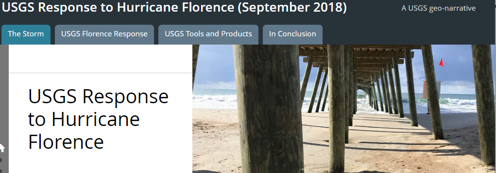
View the Hurricane Florence Geonarrative.